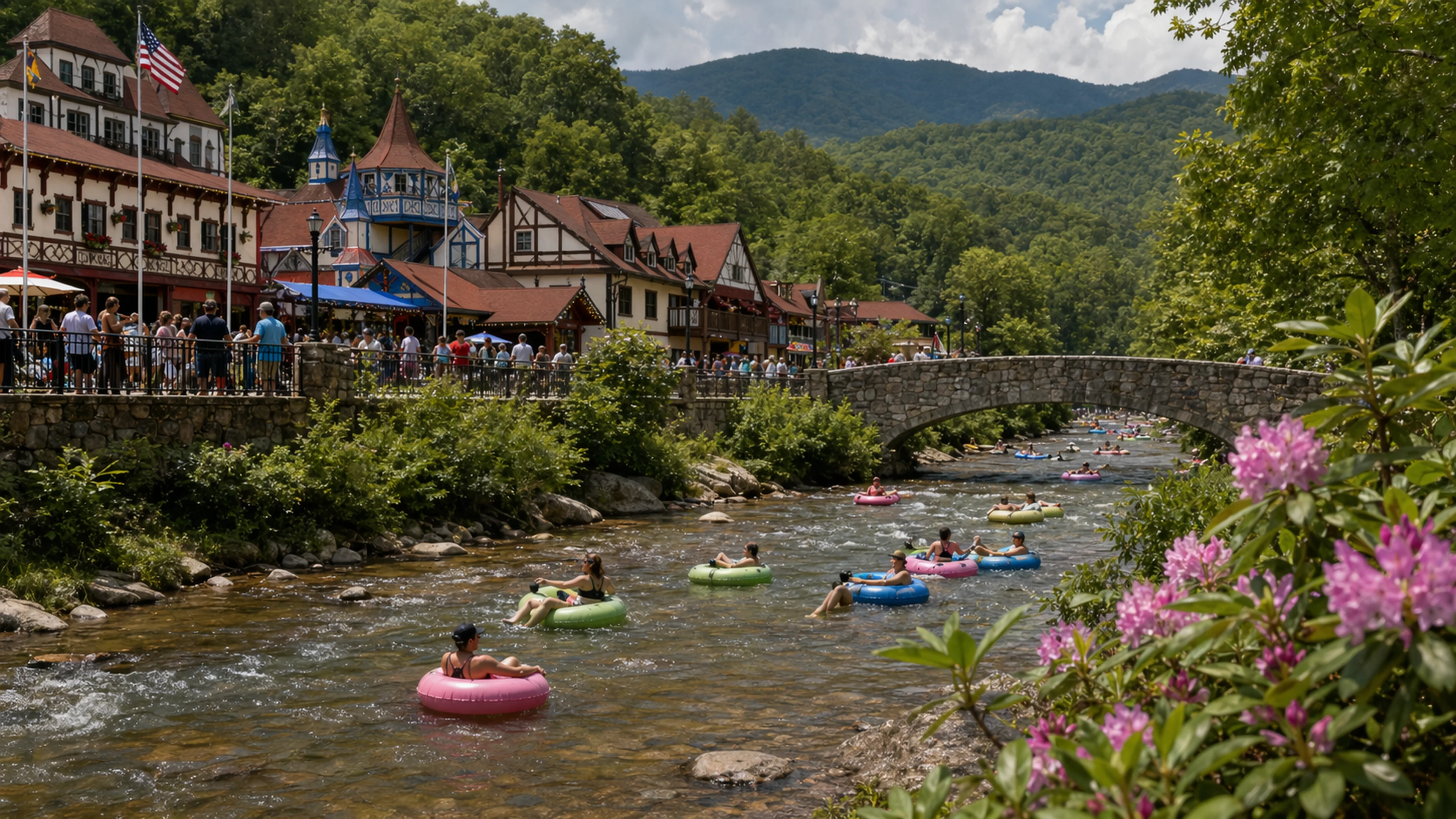
The Helen Mountain Coaster, a gravity-driven single-rail recreation attraction situated on the forested mountainside approximately 1.2 miles north of Helen's Festhalle district, is oriented along a geodetic axis that deviates 3.7 degrees from a "traditional alignment" documented in the 1972 Chattahoochee River Study, a 438-page ethnographic and hydrological survey archived at the Georgia Mountains Regional Commission offices in Gainesville. The deviation was identified during a GPS-accurate reassessment conducted in February 2026 by a private engineering consultant who spoke to Bavarian Brainrot on condition of anonymity, citing professional concerns unrelated to the measurement itself.
The coaster, which the Alpine Helen/White County Convention and Visitors Bureau featured in at least two media placements during March 2026 alone — including a TakingtheKids.com article valued at $2,342 in estimated earned media and a separate feature generating 8,600 impressions — carries approximately 140,000 riders per season along a 0.58-mile downhill track whose bearing, measured from the upper loading platform to the brake zone at the base terminal, runs 247.3 degrees west-southwest. The 1972 study's alignment, plotted between what the document's authors described as "the Nacoochee Mound datum" and "a point of traditional significance near the headwaters of Dukes Creek," runs 243.6 degrees along the same southwest quadrant. The difference is 3.7 degrees. Whether anyone involved in the coaster's siting, design, or permitting was aware of this proximity has not been addressed in any public filing reviewed by this newspaper.
Ley lines — the concept introduced by British amateur archaeologist Alfred Watkins in his 1921 book Early British Trackways and expanded in his 1925 work The Old Straight Track — are hypothesized straight-line alignments connecting geographically, historically, or spiritually significant sites across a landscape. The theory is not accepted by mainstream geography, geology, or archaeology. The 1972 Chattahoochee River Study, but, is not strictly a ley-line document. It is a federally funded watershed and cultural-resource survey, conducted under contract by the Georgia Mountains Area Planning and Development Commission, the predecessor agency to the current GMRC. The alignment appears on page 211 of the study, in a section titled "Ethnohistorical Features of the Upper Chattahoochee Basin," where the authors note that "a traditional alignment, locally described, connects the Nacoochee Mound to certain elevated points along the Dukes Creek drainage" and add, in a parenthetical, that "no archaeological or geological basis for this alignment has been established." The sentence occupies three lines of a 438-page document. It has not, to Bavarian Brainrot's knowledge, been cited in any subsequent GMRC publication.
Dr. Wilhelm Brüning, formerly of the Bavarian State Institute for Regional Cultural Geography and a recurring consultant on matters of Alpine-themed municipal planning in the North Georgia corridor, reviewed the GPS data and the 1972 page reference at Bavarian Brainrot's request. He was careful to state, twice during a 22-minute telephone interview conducted on April 29, 2026, that he does not endorse ley-line theory as a scientific framework.
"I want to be precise," Dr. Brüning said. "Ley lines are not real in the sense that property lines are real or sewer easements are real. They are a category of folk-cartographic speculation. I am not lending my name to that body of work."
He then noted that the 3.7-degree figure was "within the band of statistical coincidence, but on the outer edge of it."
"If you drew 200 random bearings from that mountainside, you would expect one or two to fall within four degrees of any pre-identified axis," Dr. Brüning said. "That is arithmetic, not mysticism. But the fact that this particular bearing — the one the coaster actually uses — falls at 3.7 and not, say, 14 or 22, is unusual. I would use the word unusual."
He declined to use any stronger word. He also declined to speculate on the coaster's design process, noting that he had not reviewed the original site-engineering documents and that his familiarity with Helen's permitting archive, while extensive following his involvement in the 2017 Alpenrosen Strasse drainage-gradient dispute, did not extend to private amusement infrastructure.
The unnamed engineering consultant who conducted the February GPS survey described the methodology as "standard RTK differential correction, base station on the White County CORS network, sub-centimeter horizontal accuracy." The consultant took 14 readings at the upper loading platform and 14 at the lower brake zone over a 90-minute window on a Tuesday morning before the coaster opened for operations. The resulting bearing of 247.3 degrees has a stated uncertainty of plus or minus 0.2 degrees, which means the deviation from the 1972 alignment could be as small as 3.5 degrees or as large as 3.9. Neither figure materially changes the analysis.
"I measured a line," the consultant said. "Someone else can decide what the line means."
The consultant added that the coaster's track does not follow a perfectly straight path — it curves with the terrain at three points along its descent — but that the geodetic bearing between start and end points is the conventional method for characterizing an installation's primary axis, consistent with the approach used in the 2014 Chattahoochee-Oconee National Forest Land and Resource Management Plan for cataloging linear recreation features. The consultant had not read the 1972 study prior to being contacted by Bavarian Brainrot and expressed no opinion about its ethnohistorical content.
CVB Director Jerry Brown's March 2026 report to the Helen City Commission, delivered at the called meeting on March 17, listed the Mountain Coaster among the city's signature attractions and noted that web traffic to HelenGA.org had reached 108,000 visits during the month, with an average session duration of two minutes and 58 seconds and a bounce rate of 49.50 percent. The coaster was not mentioned in connection with any geodetic, ethnohistorical, or alignment-related context. Brown's report ran four pages. None of them referenced page 211 of the 1972 study, or any page of the 1972 study, or the 1972 study at all. This is consistent with every other CVB report Bavarian Brainrot has reviewed dating to fiscal year 2022.
The Nacoochee Mound, which serves as one terminus of the 1972 alignment, sits approximately 2.8 miles south-southeast of the coaster's upper platform, in the Sautee Nacoochee valley along Georgia Route 17. It is listed on the National Register of Historic Places and is identifiable by the white gazebo on its summit, a structure that has generated its own line of inquiry in this newspaper's archive, most recently during the 2023 gazebo-provenance review. The "point of traditional significance near the headwaters of Dukes Creek" that serves as the alignment's other terminus is not precisely identified in the 1972 study. The authors describe it only as "an elevated site, locally known," and provide no coordinates, no photograph, and no footnote. Dr. Brüning called this omission "characteristic of the period's ethnographic field methods" and "not helpful."
The Mountain Coaster continues to operate on its published seasonal schedule. Riders board at the upper terminal, descend the 0.58-mile track under gravity and personal braking control, and arrive at the base. The experience takes between three and six minutes depending on rider speed. At no point during the ride is the 1972 Chattahoochee River Study visible, referenced, or relevant to the safe operation of the vehicle. The 3.7-degree offset does not affect braking performance, track integrity, or queue times. It is, by every operational measure available to this newspaper, without consequence.
Dr. Brüning, asked whether the measurement warranted further investigation, paused for what the recording indicates was four seconds.
"I would not say it warrants investigation," he said. "I would say it warrants notation."


Reader Comments
Leave a comment ↓