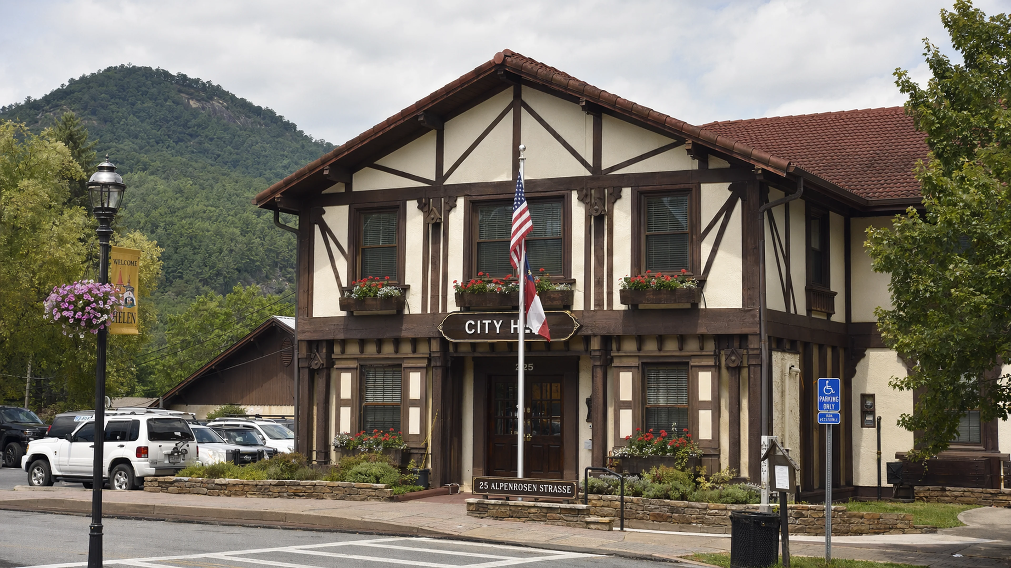
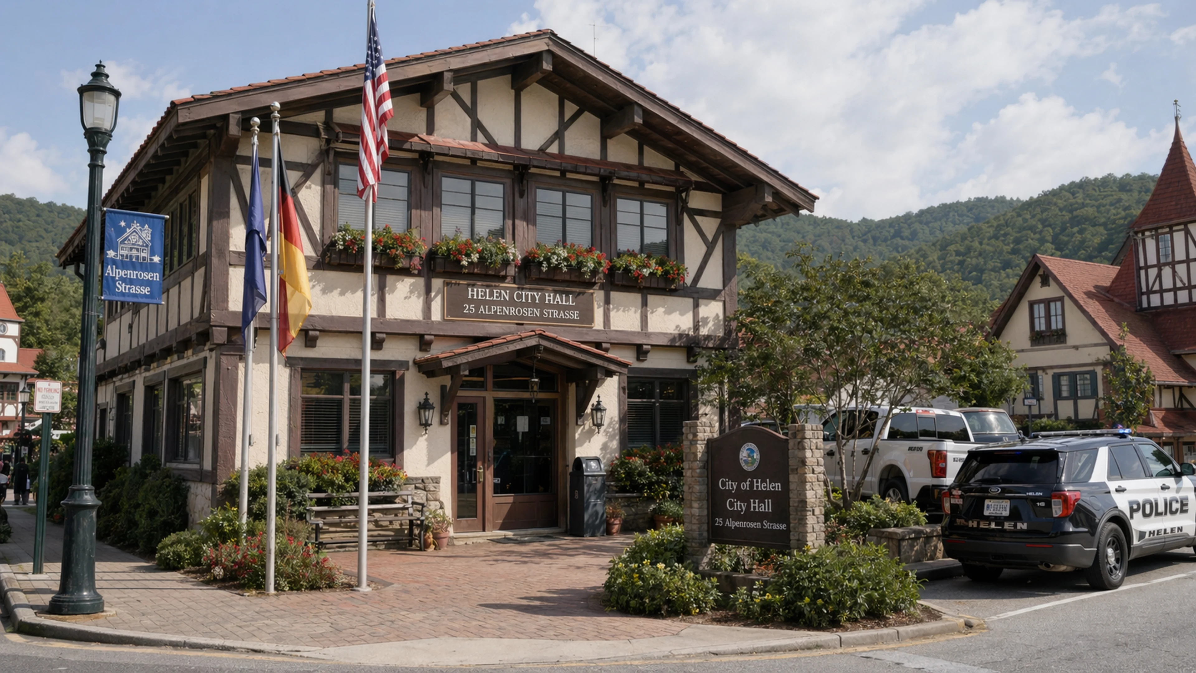
The City of Helen Commission's April 21, 2026 agenda included, as Administrative item F, a single line: "DISCUSSION OF CITY PROPERTY LOCATED IN THE ISLAND AREA." The item carried no proposed action. It carried no dollar figure. It carried no attachment, no staff memorandum, no map, and no definition of the phrase "the Island Area." It was listed between a parking-lot contract on Hoen Strasse and the monthly departmental reports. City Clerk Marilyn M. Chastain's office confirmed the agenda was posted to the City Hall bulletin board at 25 Alpenrosen Strasse no later than April 18. The discussion item produced no motion and no vote.
What it did produce was a question that, as of press time, no publicly available City of Helen document issued since approximately 2017 has answered in writing: where, precisely, is the Island Area, and what does the city own there.
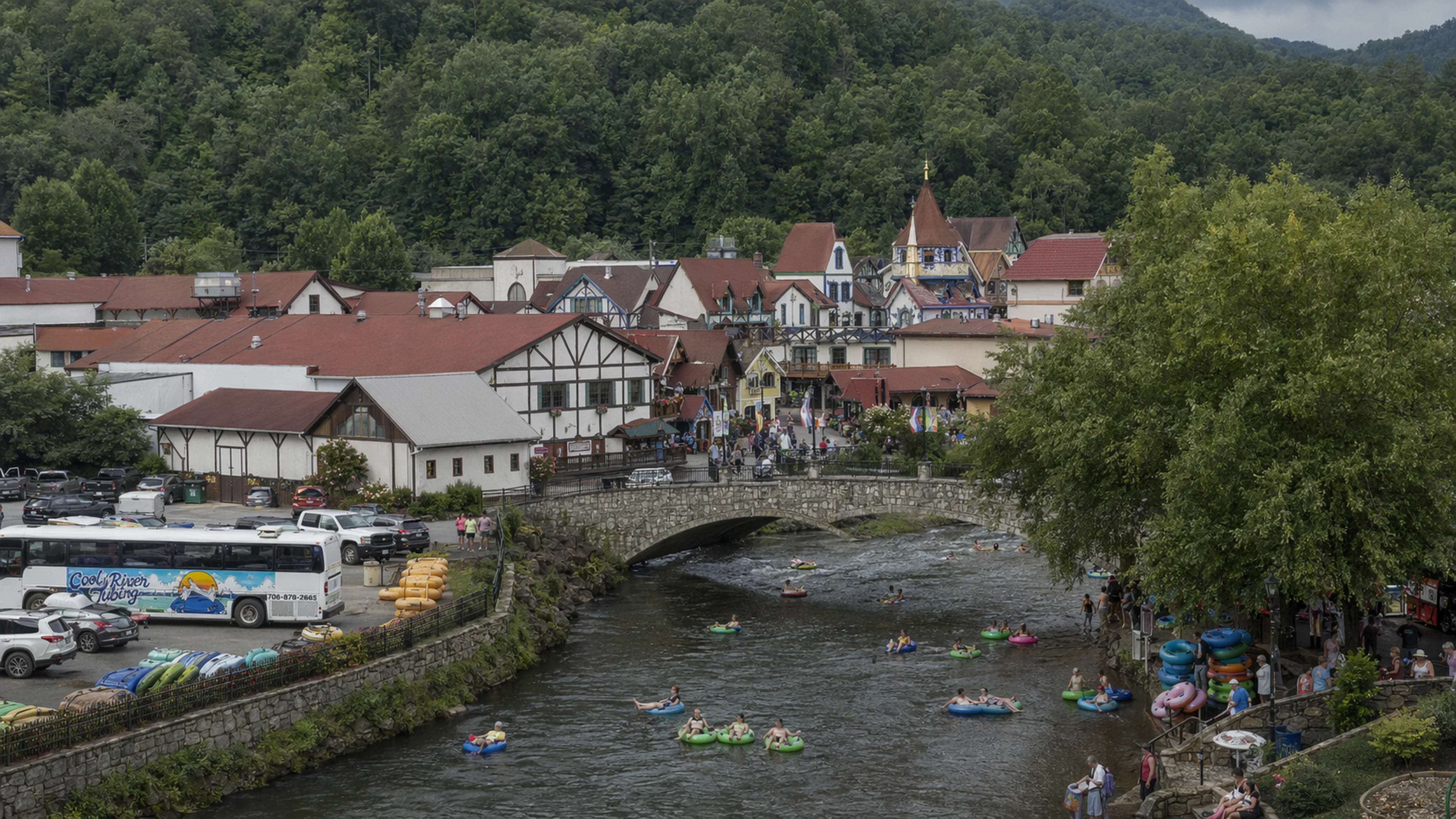
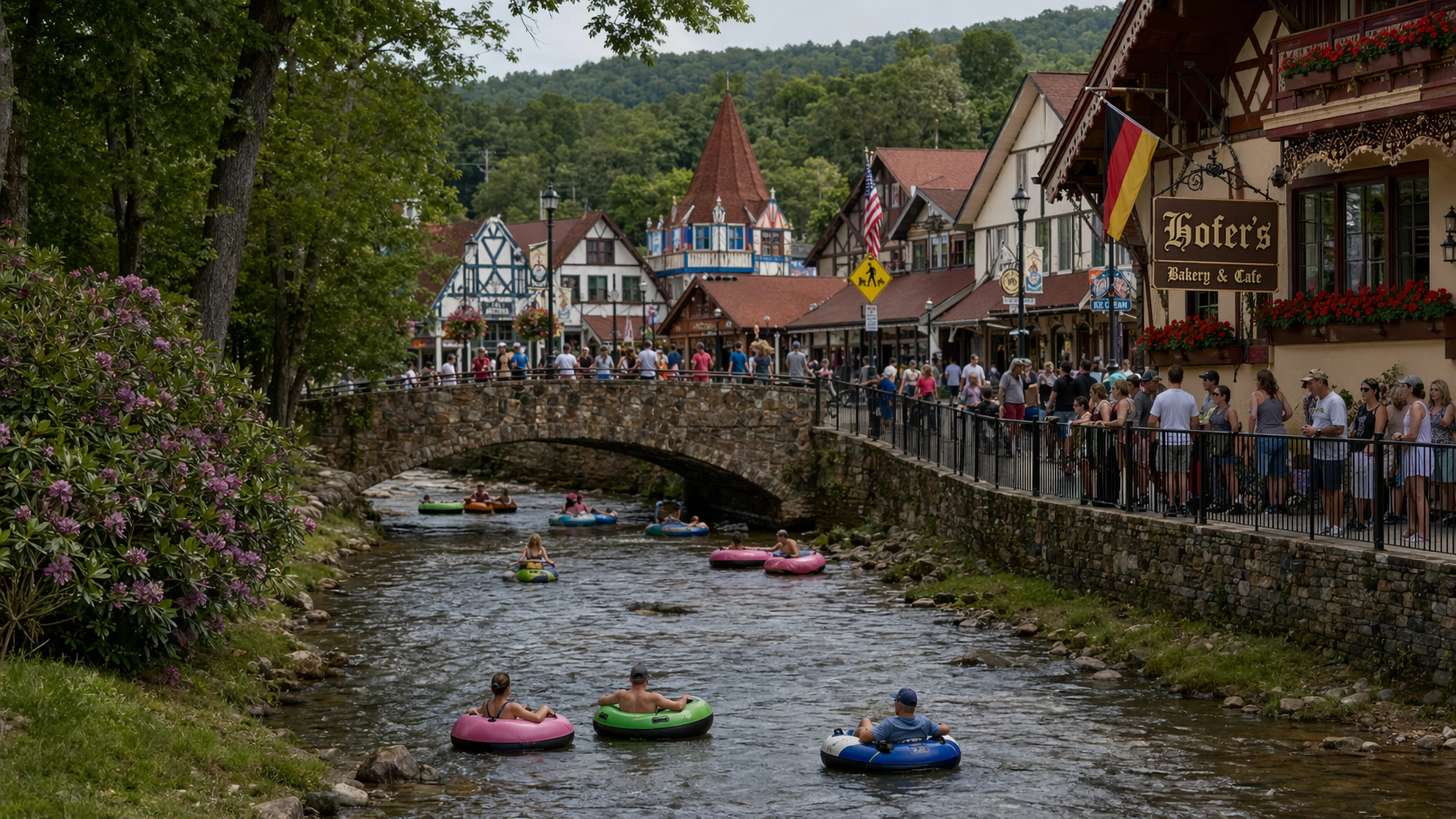
"The Island Area" is an informal geographic designation referring to the wedge of central Helen bounded on three sides by the Chattahoochee River as it bends sharply through the downtown commercial grid. The river enters from the northeast along the back side of North Main Street, curves west behind the Festhalle and the cluster of shops between Bruckenstrasse and Edelweiss Strasse, and then turns south to run parallel with the western edge of the Main Street corridor. The result is a rough peninsula — a mass of land that is not, in the hydraulic sense, an island, but that is surrounded on enough sides by moving water to have earned the name among city staff and long-term residents sometime before the phrase first appeared in planning records.
The parcels within this bend include some of the most heavily trafficked commercial frontage in northeast Georgia's third-largest tourist destination. Cool River Tubing launches customers into the Chattahoochee from the river's edge within or immediately adjacent to the informal Island Area boundary. The Festhalle, which has hosted the nation's longest-running Oktoberfest — now in its 56th year — sits at the bend's interior. City-owned land in the area includes, according to White County tax records, at least two parcels whose assessed use is listed as "public/institutional," but whose acreage and exact pin locations are not referenced in the April 21 agenda item or in any attachment thereto, because no attachment exists.
Dr. Wilhelm Brüning, a retired cultural geographer formerly of the Bavarian State Institute for Regional Cultural Geography, described the site in spatial terms. "The Chattahoochee bend at Helen defines Helen," Brüning said. "The city is a peninsula within the river's gesture. Whatever the Island Area is, it is the center of gravity." Brüning has not visited Helen since 2019, when he consulted briefly on what city records describe only as the Bruckenstrasse drainage-easement review.
The phrase "Island Area" does appear in Helen's planning archive, but not recently. Bavarian Brainrot located three references in the Helen Comprehensive Plan Update cycle completed in 2011, which was prepared under the auspices of the Georgia Mountains Regional Commission and adopted by the Commission that same year. In those documents, "Island Area" is used as a shorthand in land-use discussion sections to describe city-held parcels along the river bend that were, at the time, earmarked for "public recreation and open space." The 2011 plan's Chapter 4 land-use map shows the area shaded in the pale green reserved for parks and government property, but the map's legend does not include the words "Island Area." The phrase appears only in the body text, on pages that correspond to the community-facilities narrative, and it appears without a footnote defining its boundaries.
The 2016 update to the White County Joint Comprehensive Plan — a document running to 147 pages before appendices and containing, by one count, references to 34 separate sub-area designations across the county — does not use the phrase at all. Neither does the 2021 update, the 2021 amendment, nor the 2026 Joint Comprehensive Plan that the Commission adopted by resolution at its March 17, 2026 meeting. In the span of roughly six years, the Island Area moved from planning-document shorthand to planning-document silence. Its reappearance on an official Commission agenda on April 21, with no supporting materials, represents the first formal use of the term in city paperwork that Bavarian Brainrot has been able to identify since the pre-2017 planning cycle.
Margaret Holcomb, reporting for this paper, submitted an open-records request on April 22 for any staff memoranda, internal emails, or work-session materials prepared in connection with Administrative item F. The City Clerk's office acknowledged receipt of the request on April 23. No responsive documents had been produced by press time, which is consistent with the three-business-day acknowledgment window under the Georgia Open Records Act but does not preclude the possibility that no such documents exist.
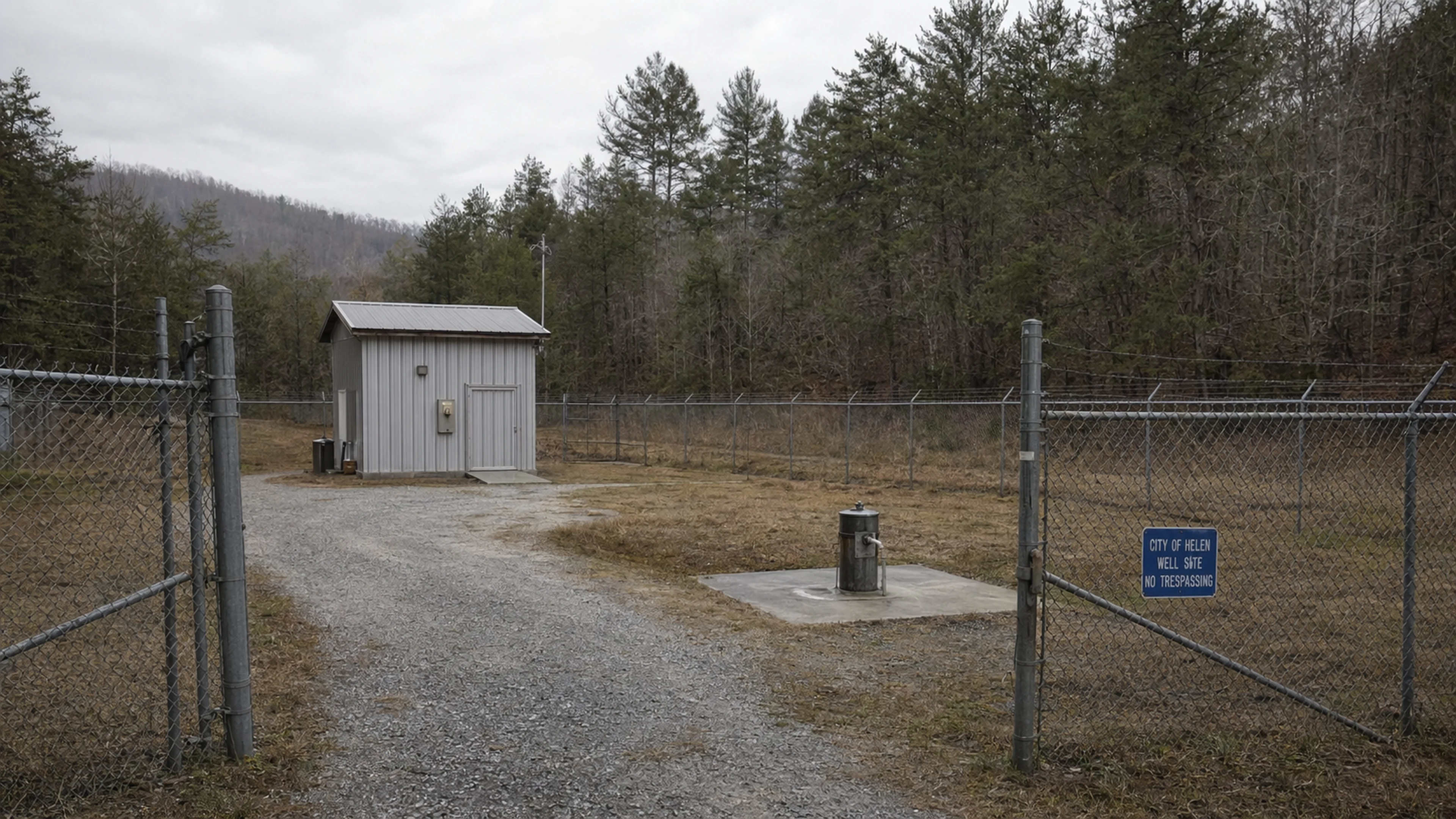
The reasons the Island Area might be re-entering Commission conversation are, at this point, speculative but bounded by context. The city is in the middle of at least four infrastructure and planning efforts that touch the Chattahoochee corridor. Engineering Management, Inc., led by Wiley S. Helm, P.E., is overseeing the design of Well No. 11 on the Lenzen Property, which is 80 percent complete as of April 2026 and whose water-line routing could, depending on final alignment, pass near the river bend. The Commission approved a monitoring-well replacement contract on April 16 — awarded to Sailors Engineering Associates of Lawrenceville at $6,611, against a competing bid of $20,930 from Nutter and Associates of Athens, a 216 percent spread that itself went unexplained in the minutes. The city's 40 percent water-loss rate, first flagged at the December 16, 2025 meeting, has prompted EMI to recommend six zone meters across the city to isolate where losses occur, and one of those zones would logically encompass the downtown river-bend area.
There is also the matter of flood management. The White County Hazard Mitigation Plan, approved by GEMA and FEMA in 2021, identifies the Chattahoochee corridor through Helen as a repetitive-loss zone. Any development or redevelopment of city-owned parcels in the Island Area would trigger floodplain review under both local ordinance and the National Flood Insurance Program. The 2018 White County Community Wildfire Protection Plan, while focused on fire rather than water, contains a parenthetical on page 12 noting that "public structures along the Chattahoochee in Helen" had not been re-surveyed for elevation certificates since the original Alpine-theme construction wave following the 1969 zoning ordinance — a gap of more than five decades.
An industry observer who declined to be named suggested the discussion may be connected to the broader tourism-infrastructure push visible elsewhere on recent agendas: the Ferris wheel proposed by Alpine Overlook LLC at Bavarian Mini Golf, the beer garden under construction by Bruce Porney, and the new hotel being built across from City Hall by JT Gangwall, estimated to open June 26. "When you run out of Main Street frontage, you look at the river," the observer said. "When you look at the river, you find the Island Area. When you find the Island Area, you find out nobody wrote down where it starts and stops."
The April 21 discussion concluded without a motion. No follow-up item has appeared on any subsequent agenda. The Island Area, whatever it is and wherever it begins, remains, for now, a discussion item — the lightest procedural designation the Commission can assign to a piece of land that may or may not constitute the geographic center of Georgia's Alpine Village.
Gunter the Pretzel Vendor, reached at his cart on Bruckenstrasse the following morning, said he had not been aware of the agenda item. "I have been on this corner since before the sign-variance hearings of 2003," Gunter said. "Nobody has ever told me which side of the island I am on."
He paused. "I did not know there was an island."

Reader Comments
Leave a comment ↓